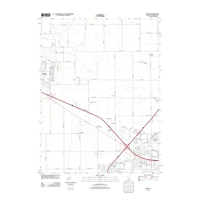
2012 Map of Rising
USGS Topo · Published 2012About this map
Yankee Ridge and the winding Copper Slough define the landscape northwest of Champaign, where rural agricultural lands meet the expanding footprints of industry and education. The southern portion of the map is anchored by Parkland College and the sprawling Interstate Research Park, signaling the area's development as a regional hub for technology and higher learning. Meanwhile, the namesake settlement of Rising remains a quiet marker along the transit corridors that bisect the Illinois prairie.
Find a feature on this map
46 named features on this map. Tap any name to fly to it.
Don’t see what you’re looking for? This feature index may not catch every label — zoom into the map to look around manually.
Map Details
Editions of this 2012 Rising Map
This is the sole edition of this map. No revisions or reprints were ever made.
Other maps of this area

1906 · Urbana
USGS Topo · 1:62,500

1907 · Mahomet
USGS Topo · 1:62,500

1924 · Paxton
USGS Topo · 1:62,500

1927 · Paxton
USGS Topo · 1:62,500

1928 · Gibson City
USGS Topo · 1:62,500

1949 · Paxton
USGS Topo · 1:62,500

1957 · Urbana
USGS Topo · 1:62,500

1957 · Paxton
USGS Topo · 1:62,500

1957 · Gibson City
USGS Topo · 1:62,500

1957 · Urbana
USGS Topo · 1:24,000