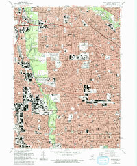
1993 Map of River Forest
USGS Topo · Published 1993About this map
The Des Plaines River corridor serves as the central spine for this densely developed urban and suburban landscape, where vast forest preserves like Thatcher Woods and Schiller Woods North provide a green buffer between the residential grids of River Forest and Franklin Park. The map reveals a remarkable concentration of memorial parks and academic institutions, including the sprawling St Joseph Cemetery and the campuses of Concordia University and Triton College.
Find a feature on this map
83 named features on this map. Tap any name to fly to it.
Don’t see what you’re looking for? This feature index may not catch every label — zoom into the map to look around manually.
Map Details
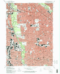
Editions of this 1993 River Forest Map
2 editions found
Other maps of this area

1889 · Chicago
USGS Topo · 1:62,500

1891 · Chicago
USGS Topo · 1:62,500

1891 · Riverside
USGS Topo · 1:62,500

1893 · Riverside
USGS Topo · 1:62,500

1899 · Evanston
USGS Topo · 1:62,500

1900 · Chicago
USGS Topo · 1:62,500

1900 · Riverside
USGS Topo · 1:62,500

1900 · Highwood
USGS Topo · 1:62,500

1901 · Riverside
USGS Topo · 1:62,500

1901 · Chicago
USGS Topo · 1:62,500