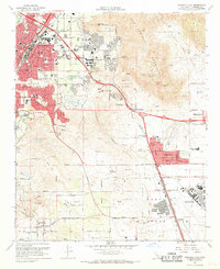
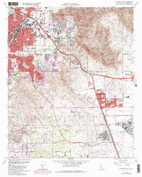
1967 Map of Riverside East
USGS Topo · Published 1969About this map
March Air Force Base and the University of California Riverside anchor this mid-century survey of Riverside's eastern expansion. The map details the transition from the city's urban core to the rising suburban developments of Edgemont, Sunnymead, and Canyon Crest Heights. Transportation networks are heavily represented, from the Atchison Topeka and Santa Fe Railway and the Union Pacific lines to the newly constructed Riverside Freeway and Escondido Freeway, which define the era's shift toward automobile dominance.
Find a feature on this map
73 named features on this map. Tap any name to fly to it.
Don’t see what you’re looking for? This feature index may not catch every label — zoom into the map to look around manually.
Map Details
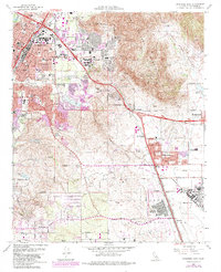
Editions of this 1967 Riverside East Map
6 editions found
Other maps of this area

1896 · San Bernardino
USGS Topo · 1:62,500

1898 · San Bernardino
USGS Topo · 1:62,500

1899 · Redlands
USGS Topo · 1:62,500

1901 · Southern California Sheet No. 1
USGS Topo · 1:250,000

1901 · San Bernardino
USGS Topo · 1:62,500

1901 · Redlands
USGS Topo · 1:62,500

1901 · Elsinore
USGS Topo · 1:125,000

1901 · Riverside
USGS Topo · 1:62,500

1904 · Southern California Sheet No. 1
USGS Topo · 1:250,000
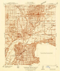
1938 · Colton
USGS Topo · 1:31,680