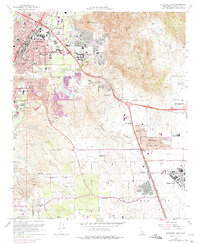
1967 Map of Riverside East
USGS Topo · Published 1974About this map
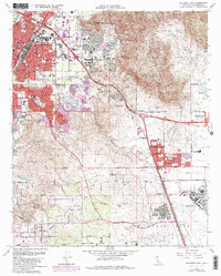
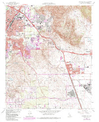
March Air Force Base and the March Field flight lines dominate the southern half of this landscape, illustrating the significant military footprint in the Inland Empire during the late 1960s. The expansion of Riverside is captured through purple tinting that marks urban growth into surrounding neighborhoods like Canyon Crest Heights and Belvedere Heights. The academic corridor is well-defined by the University of California Riverside and its adjacent University of California Experiment Station.
Find a feature on this map
48 named features on this map. Tap any name to fly to it.
Don’t see what you’re looking for? This feature index may not catch every label — zoom into the map to look around manually.
Map Details
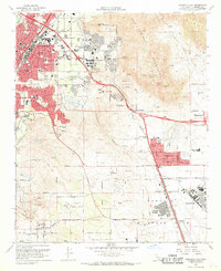
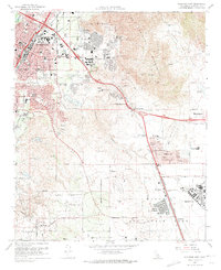
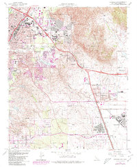
Editions of this 1967 Riverside East Map
6 editions found
Other maps of this area

1896 · San Bernardino
USGS Topo · 1:62,500

1898 · San Bernardino
USGS Topo · 1:62,500

1899 · Redlands
USGS Topo · 1:62,500

1901 · Southern California Sheet No. 1
USGS Topo · 1:250,000

1901 · San Bernardino
USGS Topo · 1:62,500

1901 · Redlands
USGS Topo · 1:62,500

1901 · Elsinore
USGS Topo · 1:125,000

1901 · Riverside
USGS Topo · 1:62,500

1904 · Southern California Sheet No. 1
USGS Topo · 1:250,000
1938 · Colton
USGS Topo · 1:31,680