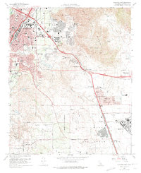
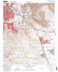
1967 Map of Riverside East
USGS Topo · Published 1974About this map
March Air Force Base anchors the southern portion of this landscape, its expansive airfield and the residential pocket of Arnold Heights standing in contrast to the rugged terrain of the Box Springs Mountains to the north. In the late 1960s, the city of Riverside exhibits a mix of academic expansion and residential growth, featuring the sprawling grounds of the University of California Riverside and its adjacent University of California Experiment Station. This survey documents a critical period of infrastructure development, where the Riverside Freeway and Escondido Freeway converge to link the growing valley settlements. The local economy and daily life are etched into the map through the path of the Gage Canal and the presence of numerous neighborhood schools like Fremont Sch and Victoria Sch, which served the expanding suburban tracts of Belvedere Heights and Canyon Crest Heights.
Find a feature on this map
47 named features on this map. Tap any name to fly to it.
Don’t see what you’re looking for? This feature index may not catch every label — zoom into the map to look around manually.
Map Details
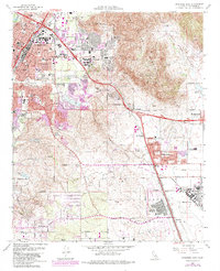
Editions of this 1967 Riverside East Map
6 editions found
Other maps of this area

1896 · San Bernardino
USGS Topo · 1:62,500

1898 · San Bernardino
USGS Topo · 1:62,500

1899 · Redlands
USGS Topo · 1:62,500

1901 · Southern California Sheet No. 1
USGS Topo · 1:250,000

1901 · San Bernardino
USGS Topo · 1:62,500

1901 · Redlands
USGS Topo · 1:62,500

1901 · Elsinore
USGS Topo · 1:125,000

1901 · Riverside
USGS Topo · 1:62,500

1904 · Southern California Sheet No. 1
USGS Topo · 1:250,000
1938 · Colton
USGS Topo · 1:31,680