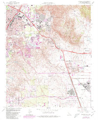
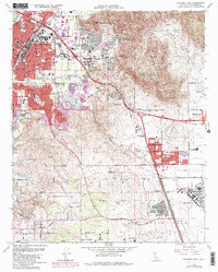
1967 Map of Riverside East
USGS Topo · Published 1980About this map
March Air Force Base and the expansive Riverside National Cemetery dominate the southern portion of this landscape, reflecting the region's significant military and civic footprint during the late twentieth century. The map illustrates a period of transition as suburban expansion from Riverside pushes eastward toward the Box Springs Mountains, with residential developments like Canyon Crest Heights and Belvedere Heights rising near the University of California Riverside.
Find a feature on this map
50 named features on this map. Tap any name to fly to it.
Don’t see what you’re looking for? This feature index may not catch every label — zoom into the map to look around manually.
Map Details
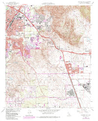
Editions of this 1967 Riverside East Map
6 editions found
Other maps of this area

1896 · San Bernardino
USGS Topo · 1:62,500

1898 · San Bernardino
USGS Topo · 1:62,500

1899 · Redlands
USGS Topo · 1:62,500

1901 · Southern California Sheet No. 1
USGS Topo · 1:250,000

1901 · San Bernardino
USGS Topo · 1:62,500

1901 · Redlands
USGS Topo · 1:62,500

1901 · Elsinore
USGS Topo · 1:125,000

1901 · Riverside
USGS Topo · 1:62,500

1904 · Southern California Sheet No. 1
USGS Topo · 1:250,000
1938 · Colton
USGS Topo · 1:31,680