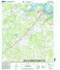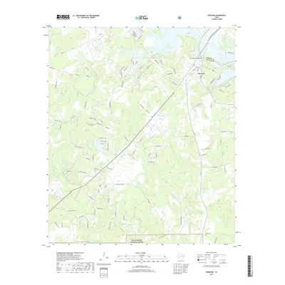
1961 Map of Riverside
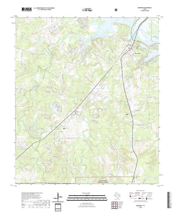
USGS Topo · Published 1974About this map
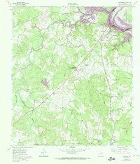
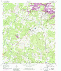
The Trinity River serves as the boundary between Walker and Trinity counties in this mid-century survey, anchoring the local landscape near Riverside. South of the river, the Missouri Pacific railroad cuts through the terrain, passing through the settlement of Dodge and past the Dodge Cem. A notable institutional presence is defined by the Sam Houston State Teachers College (Country Campus PO), located near Campus Lake. The map reveals a transition from the wooded areas of the Sam Houston National Forest in the south to the fertile bottomlands of Harmon Creek and its many tributaries like Bethy Creek. Scattered rural landmarks, including the Thessalonica Ch and the State Fish Hatchery, illustrate a community built around traditional Texas industry and education. Areas along the river, including Mud Lake, are shown with indications of controlled inundation, reflecting the hydrological management of the era.
Find a feature on this map
33 named features on this map. Tap any name to fly to it.
Don’t see what you’re looking for? This feature index may not catch every label — zoom into the map to look around manually.
Map Details
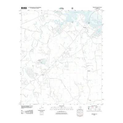
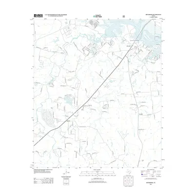
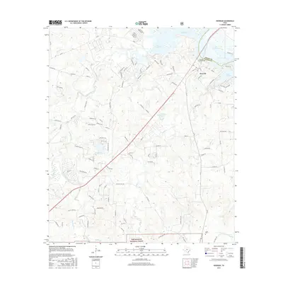
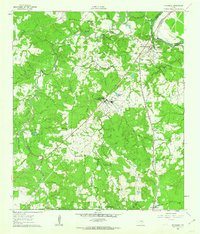
Editions of this 1961 Riverside Map
3 editions found
Historical Maps of Riverside Through Time
7 maps found