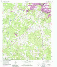
1961 Map of Riverside
USGS Topo · Published 1986About this map
Riverside and the surrounding piney woods landscape of the Sam Houston National Forest are documented here during a period of transition in east Texas. The Missouri Pacific railroad corridor serves as the primary artery for the region, connecting the riverside settlement to Carolina and Dodge. A notable institutional presence is captured at the Sam Houston State Teachers College (Country Campus PO), complete with its own Campus Lake.
Find a feature on this map
37 named features on this map. Tap any name to fly to it.
Don’t see what you’re looking for? This feature index may not catch every label — zoom into the map to look around manually.
Map Details
Editions of this 1961 Riverside Map
3 editions found
Other maps of this area

1954 · Beaumont
USGS Topo · 1:250,000

1957 · Beaumont
USGS Topo · 1:250,000

1960 · Trinity West
USGS Topo · 1:24,000

1960 · Trinity East
USGS Topo · 1:24,000

1960 · Phelps
USGS Topo · 1:24,000

1961 · Staley
USGS Topo · 1:24,000

1961 · Riverside
USGS Topo · 1:24,000

1961 · Oakhurst
USGS Topo · 1:24,000

1962 · Pine Prairie
USGS Topo · 1:24,000

1962 · Wyser Bottom
USGS Topo · 1:24,000