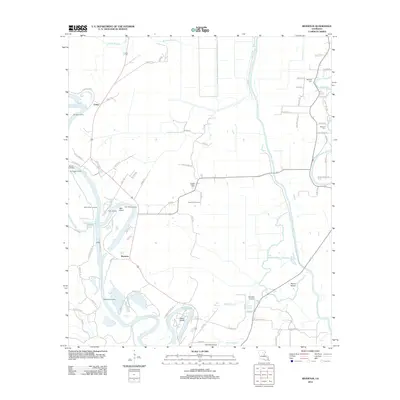
2012 Map of Riverton
USGS Topo · Published 2012About this map
Riverton and Corey sit within a landscape defined by the winding course of the Ouachita River and a complex network of bayous and sloughs. This Caldwell Parish terrain is deeply tied to the water, as evidenced by a high concentration of river access points such as Sinope Landing, Barr Point Landing, and Smithland Landing. The river's historical shifts are visible in features like the Old Channel Bayou Lafourche, while industrial development is marked by the Cane Hill Gas Field near the center of the sheet. Local aviation and infrastructure are represented by the Columbia Airport and Kenneys Airstrip, serving the surrounding rural communities. Genealogists will find interest in localized landmarks like Bethany Cem and Duchene Cem, alongside several family-named roads and islands that point to the long-standing agricultural and riverine heritage of this corner of Louisiana.
Find a feature on this map
84 named features on this map. Tap any name to fly to it.
Don’t see what you’re looking for? This feature index may not catch every label — zoom into the map to look around manually.
Map Details
Editions of this 2012 Riverton Map
This is the sole edition of this map. No revisions or reprints were ever made.
Other maps of this area

1935 · Alto
USGS Topo · 1:62,500

1939 · Fort Necessity
USGS Topo · 1:62,500

1940 · Monroe
USGS Topo · 1:62,500

1940 · Columbia
USGS Topo · 1:62,500

1955 · Jackson
USGS Topo · 1:250,000

1955 · Shreveport
USGS Topo · 1:250,000

1956 · Shreveport
USGS Topo · 1:250,000

1957 · Columbia
USGS Topo · 1:62,500

1957 · Mangham
USGS Topo · 1:62,500

1957 · Monroe South
USGS Topo · 1:62,500