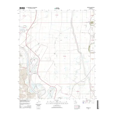
2015 Map of Riverton
USGS Topo · Published 2015About this map
The Ouachita River meanders through this landscape, defining the character of western Caldwell Parish. Along its banks, the small communities of Riverton and Corey sit near the river's edge, while Cane Hill occupies higher ground to the east. The terrain is defined by complex hydrology, featuring numerous cut-off lakes and bayous such as McEnery Lake, Swim Lake, and Ballard Bayou. To the east, the Boeuf River and Bayou Lafourche parallel each other, marking the boundary with Richland Parish.
Find a feature on this map
81 named features on this map. Tap any name to fly to it.
Don’t see what you’re looking for? This feature index may not catch every label — zoom into the map to look around manually.
Map Details
Editions of this 2015 Riverton Map
This is the sole edition of this map. No revisions or reprints were ever made.
Other maps of this area

1935 · Alto
USGS Topo · 1:62,500

1939 · Fort Necessity
USGS Topo · 1:62,500

1940 · Monroe
USGS Topo · 1:62,500

1940 · Columbia
USGS Topo · 1:62,500

1955 · Jackson
USGS Topo · 1:250,000

1955 · Shreveport
USGS Topo · 1:250,000

1956 · Shreveport
USGS Topo · 1:250,000

1957 · Columbia
USGS Topo · 1:62,500

1957 · Mangham
USGS Topo · 1:62,500

1957 · Monroe South
USGS Topo · 1:62,500