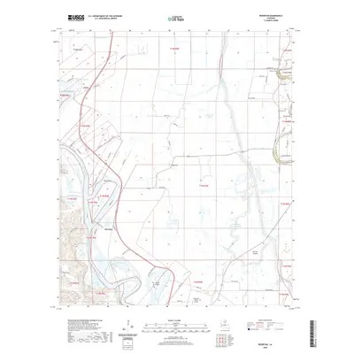
2020 Map of Riverton
USGS Topo · Published 2020About this map
The Ouachita River meanders through this landscape, defining the character of western Caldwell Parish. The settlement of Riverton sits at a sharp bend in the river, south of Barr Point, while the community of Corey is situated to the north near Ferrand Lake. This map reveals a complex system of waterways, including Bayou Lafourche, Indian Slough, and the Boeuf River, which delineate the low-lying terrain east of the primary river channel.
Find a feature on this map
74 named features on this map. Tap any name to fly to it.
Don’t see what you’re looking for? This feature index may not catch every label — zoom into the map to look around manually.
Map Details
Editions of this 2020 Riverton Map
This is the sole edition of this map. No revisions or reprints were ever made.
Other maps of this area

1935 · Alto
USGS Topo · 1:62,500

1939 · Fort Necessity
USGS Topo · 1:62,500

1940 · Monroe
USGS Topo · 1:62,500

1940 · Columbia
USGS Topo · 1:62,500

1955 · Jackson
USGS Topo · 1:250,000

1955 · Shreveport
USGS Topo · 1:250,000

1956 · Shreveport
USGS Topo · 1:250,000

1957 · Columbia
USGS Topo · 1:62,500

1957 · Mangham
USGS Topo · 1:62,500

1957 · Monroe South
USGS Topo · 1:62,500