
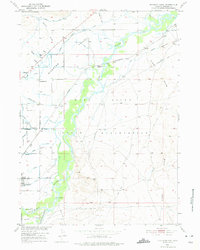
1950 Map of Riverton East
USGS Topo · Published 1952About this map
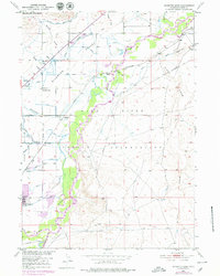
The Wind River Indian Reservation dominates this 1950s landscape, illustrating a complex network of agricultural irrigation and institutional development in Fremont County. The Wind River and Popo Agie River provide the vital water source for extensive infrastructure like the Riverton No 2 Canal, fueling the region's ranching and farming economy. Notable landmarks of state administration and local community include the Prison Farm, Penitentiary Farm, and the community hub of Delfelder Hall.
Find a feature on this map
32 named features on this map. Tap any name to fly to it.
Don’t see what you’re looking for? This feature index may not catch every label — zoom into the map to look around manually.
Map Details
Editions of this 1950 Riverton East Map
3 editions found
Other maps of this area

1951 · Indian Butte
USGS Topo · 1:24,000

1951 · Hidden Valley
USGS Topo · 1:24,000

1951 · Riverton West
USGS Topo · 1:24,000

1952 · Riverton NE
USGS Topo · 1:24,000

1952 · Lost Wells Butte
USGS Topo · 1:24,000

1953 · Arapahoe NE
USGS Topo · 1:24,000

1953 · Arapahoe
USGS Topo · 1:24,000

1955 · Thermopolis
USGS Topo · 1:250,000

1955 · Lander
USGS Topo · 1:250,000
1957 · Hidden Valley
USGS Topo · 1:24,000