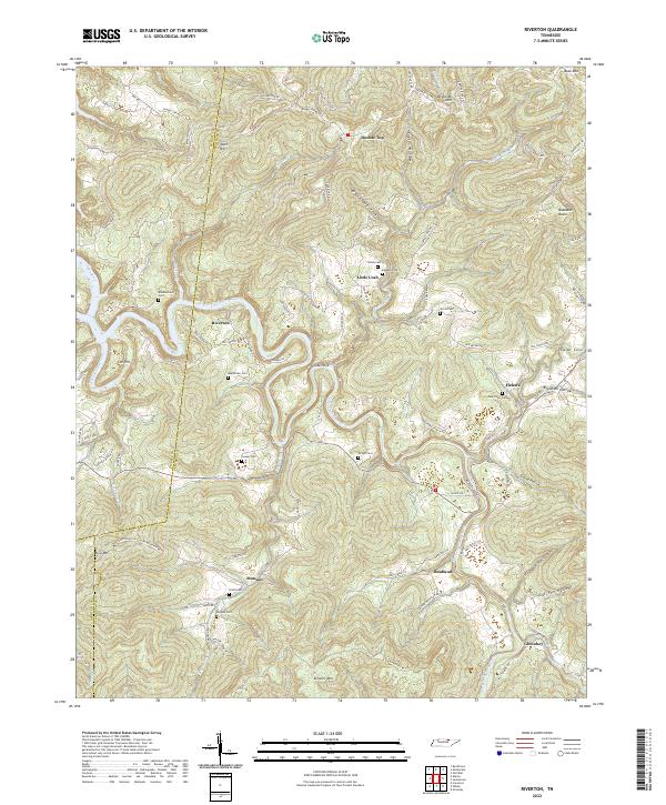
2022 Map of Riverton
USGS Topo · Published 2022About this map
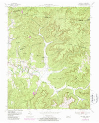
The East Fork Obey River carves a winding path through this corner of Fentress County, shaping the settlement patterns of rural Tennessee. Small communities such as Riverton, Little Crab, and Helena occupy the limited level ground between significant topographical rises like Double Top and Skinner Mtn. The landscape is a complex network of named hollows and ridges, including Dark Hollow, Taylor Hollow, and Gould Hollow, which historically dictated the placement of homesteads and connecting routes like Crab Mtn Rd.
Find a feature on this map
90 named features on this map. Tap any name to fly to it.
Don’t see what you’re looking for? This feature index may not catch every label — zoom into the map to look around manually.
Map Details
Editions of this 2022 Riverton Map
This is the sole edition of this map. No revisions or reprints were ever made.
Historical Maps of Fairview Through Time
13 maps found
1936 Jones Knob
Fentress County, TN
1949 Jones Knob
Fentress County, TN
1954 Burrville
Fentress County, TN
1954 Pall Mall
Fentress County, TN
1954 Stockton
Fentress County, TN
1955 Wilder
Fentress County, TN
1956 Riverton
Fentress County, TN
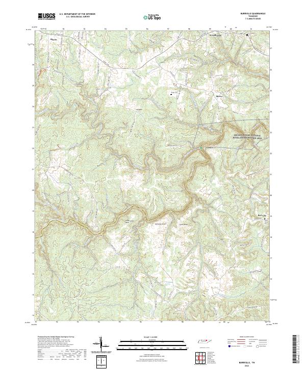
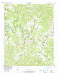
2022 Burrville
Fentress County, TN
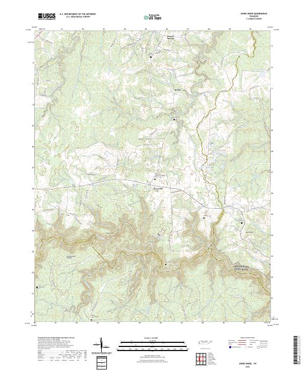
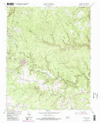
2022 Jones Knob
Fentress County, TN
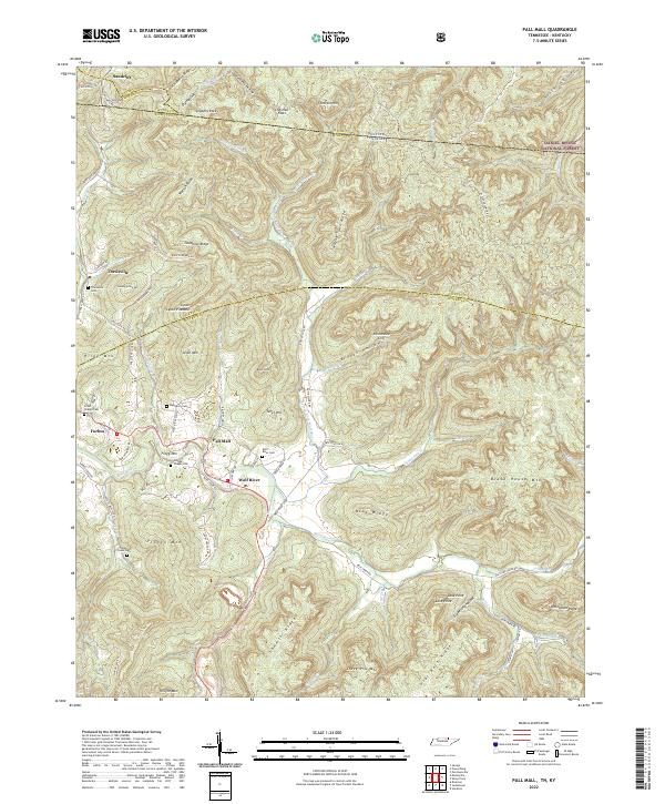
2022 Pall Mall
Fentress County, TN
2022 Riverton
Fentress County, TN
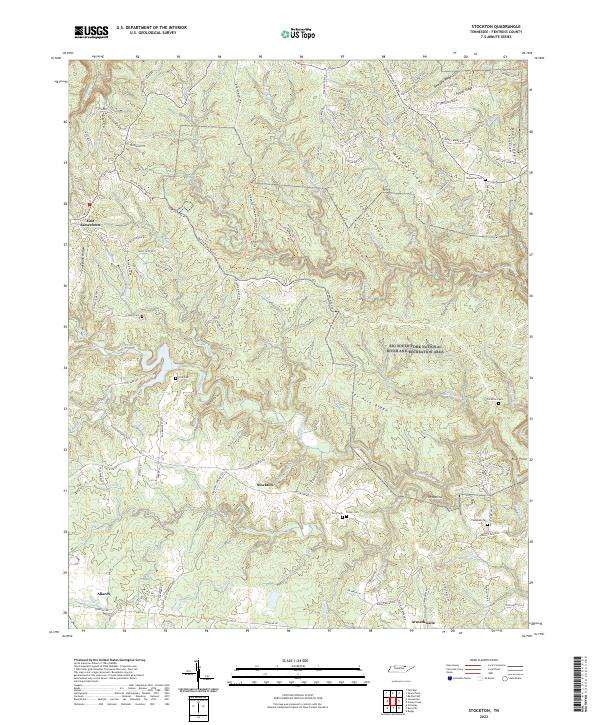
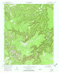
2022 Stockton
Fentress County, TN
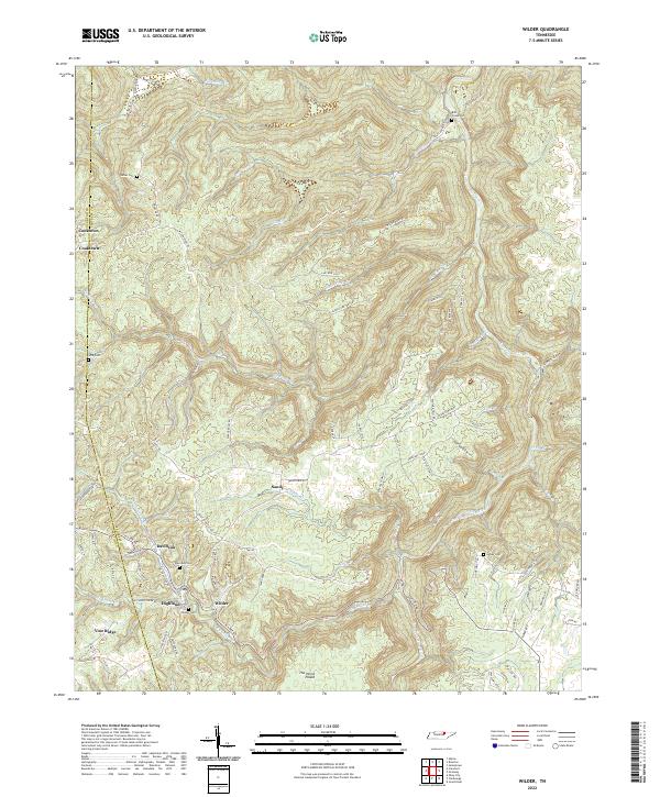
2022 Wilder
Fentress County, TN