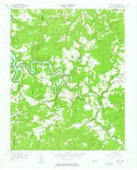
1956 Map of Riverton
USGS Topo · Published 1957About this map
The Obey River and its winding East Fork define the rugged character of this Middle Tennessee borderland, where the Dale Hollow Reservoir begins to back into the deep valleys. The settlement of Riverton sits at a critical bend in the fork, surrounded by a landscape marked by small rural nodes and hilltop schools. Education and faith are central to the community's layout, with several combined facilities such as the East Fork Chapel Sch and isolated schoolhouses like Broad Door Sch and Manson Sch serving the high ridges of Skinner Mountain and Double Top. Local family history is preserved in numerous upland graveyards, including Hinds Cem, Beatyton Cem, and Wright Cem, which are tucked away near winding watercourses like Little Crab Creek and Poplar Cove Creek.
Find a feature on this map
63 named features on this map. Tap any name to fly to it.
Don’t see what you’re looking for? This feature index may not catch every label — zoom into the map to look around manually.
Map Details
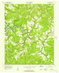
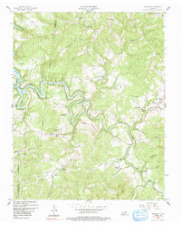
Editions of this 1956 Riverton Map
3 editions found
Other maps of this area

1895 · Wartburg
USGS Topo · 1:125,000

1896 · Wartburg
USGS Topo · 1:125,000

1897 · Standingstone
USGS Topo · 1:125,000

1898 · Standingstone
USGS Topo · 1:125,000

1929 · Byrdstown
USGS Topo · 1:62,500

1934 · Pall Mall
USGS Topo · 1:62,500

1954 · Crawford
USGS Topo · 1:24,000

1954 · Jamestown
USGS Topo · 1:24,000

1954 · Grimsley
USGS Topo · 1:24,000
1954 · Pall Mall
USGS Topo · 1:24,000