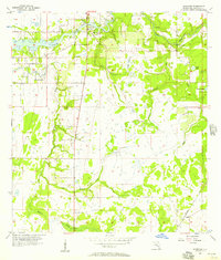
1956 Map of Riverview
USGS Topo · Published 1957About this map
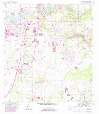
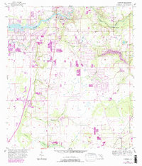
The Alafia River defines the northern edge of this mid-century landscape, where the settlement of Riverview serves as a hub for the surrounding citrus and phosphate country of Hillsborough County. The terrain is characterized by a complex network of wetlands and seasonal drainages, including the branching reaches of Rice Creek and Bullfrog Creek. To the south, the village of Balm sits along the Seaboard Air Line railroad, illustrating the importance of rail transport for Florida's interior economy during this era.
Find a feature on this map
18 named features on this map. Tap any name to fly to it.
Don’t see what you’re looking for? This feature index may not catch every label — zoom into the map to look around manually.
Map Details
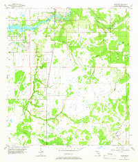
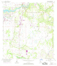
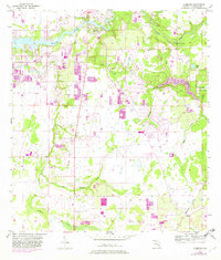
Editions of this 1956 Riverview Map
6 editions found
Other maps of this area
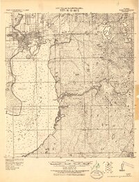
1921 · Tampa
USGS Topo · 1:62,500
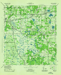
1944 · Mango
USGS Topo · 1:31,680
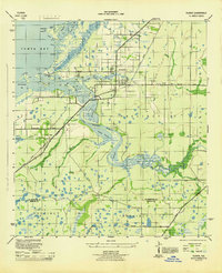
1944 · Ruskin
USGS Topo · 1:31,680
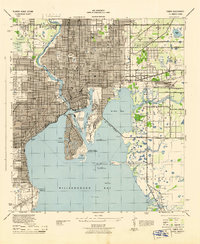
1944 · Tampa
USGS Topo · 1:31,680
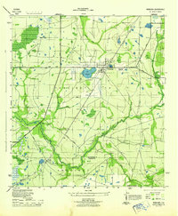
1944 · Wimauma
USGS Topo · 1:31,680
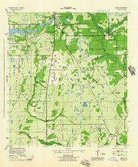
1944 · Balm
USGS Topo · 1:31,680
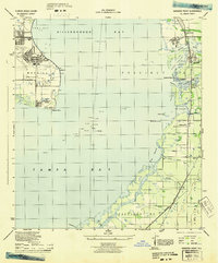
1945 · Gadsden Point
USGS Topo · 1:31,680
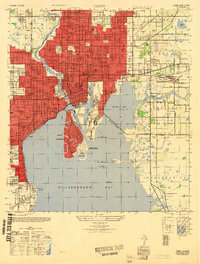
1947 · Tampa
USGS Topo · 1:25,000
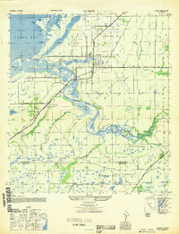
1947 · Ruskin
USGS Topo · 1:25,000
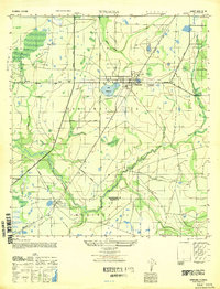
1947 · Wimauma
USGS Topo · 1:25,000