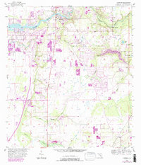
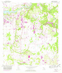
1956 Map of Riverview
USGS Topo · Published 1987About this map
The Alafia River defines the northern reaches of this Florida landscape, winding past the community of Riverview and under the Bell Shoals Bridge. This mid-century survey, updated in the late 1980s, reveals a terrain increasingly shaped by aquaculture and modern communication, evidenced by several Fish Hatchery sites and the prominent Tower (WFLA-TV) near Hutto Lake.
Find a feature on this map
24 named features on this map. Tap any name to fly to it.
Don’t see what you’re looking for? This feature index may not catch every label — zoom into the map to look around manually.
Map Details
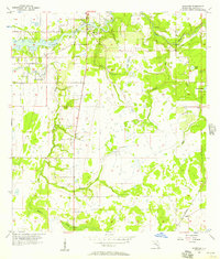
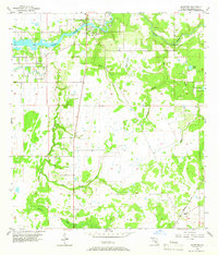
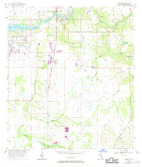
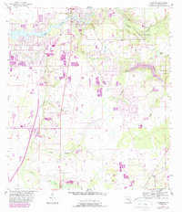
Editions of this 1956 Riverview Map
6 editions found
Other maps of this area

1921 · Tampa
USGS Topo · 1:62,500

1944 · Mango
USGS Topo · 1:31,680

1944 · Ruskin
USGS Topo · 1:31,680

1944 · Tampa
USGS Topo · 1:31,680

1944 · Wimauma
USGS Topo · 1:31,680

1944 · Balm
USGS Topo · 1:31,680

1945 · Gadsden Point
USGS Topo · 1:31,680
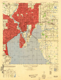
1947 · Tampa
USGS Topo · 1:25,000

1947 · Ruskin
USGS Topo · 1:25,000

1947 · Wimauma
USGS Topo · 1:25,000