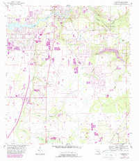
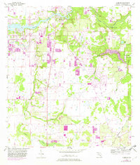
1956 Map of Riverview
USGS Topo · Published 1987About this map
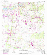
The Alafia River defines the northern landscape of this Hillsborough County survey, winding past the community of Riverview. The era's land use is clearly visible through the numerous Fish Hatchery sites that dot the terrain, alongside family-named landmarks like Sanford Cem and the Brown Lookout Tower. To the south, the settlement of Balm sits near the C S X railroad line, marking a pocket of inland activity away from the river's influence.
Find a feature on this map
19 named features on this map. Tap any name to fly to it.
Don’t see what you’re looking for? This feature index may not catch every label — zoom into the map to look around manually.
Map Details
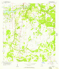
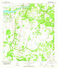
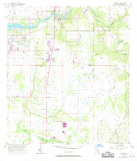
Editions of this 1956 Riverview Map
6 editions found
Other maps of this area

1921 · Tampa
USGS Topo · 1:62,500

1944 · Mango
USGS Topo · 1:31,680

1944 · Ruskin
USGS Topo · 1:31,680

1944 · Tampa
USGS Topo · 1:31,680

1944 · Wimauma
USGS Topo · 1:31,680

1944 · Balm
USGS Topo · 1:31,680

1945 · Gadsden Point
USGS Topo · 1:31,680
1947 · Tampa
USGS Topo · 1:25,000

1947 · Ruskin
USGS Topo · 1:25,000

1947 · Wimauma
USGS Topo · 1:25,000