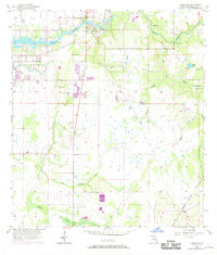
1956 Map of Riverview
USGS Topo · Published 1970About this map
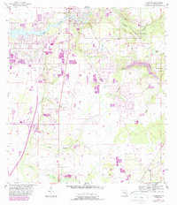
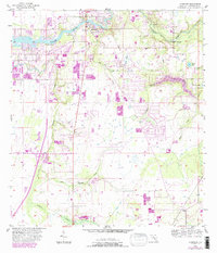
The Alafia River winds across the northern landscape of this Hillsborough County survey, anchoring the settlement of Riverview. Photorevisions from 1969 reveal expanding development patterns in purple, contrasting with the established agricultural and natural features from the mid-1950s. To the south, the village of Balm sits along the Seaboard Coast Line railroad, illustrating the importance of rail transport for this citrus and phosphate-rich region.
Find a feature on this map
21 named features on this map. Tap any name to fly to it.
Don’t see what you’re looking for? This feature index may not catch every label — zoom into the map to look around manually.
Map Details
Editions of this 1956 Riverview Map
6 editions found
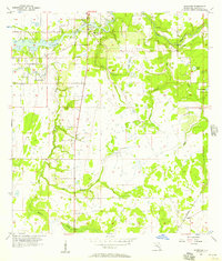
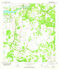
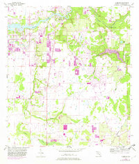
Other maps of this area

1921 · Tampa
USGS Topo · 1:62,500

1944 · Mango
USGS Topo · 1:31,680

1944 · Ruskin
USGS Topo · 1:31,680

1944 · Tampa
USGS Topo · 1:31,680

1944 · Wimauma
USGS Topo · 1:31,680

1944 · Balm
USGS Topo · 1:31,680

1945 · Gadsden Point
USGS Topo · 1:31,680
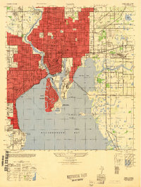
1947 · Tampa
USGS Topo · 1:25,000

1947 · Ruskin
USGS Topo · 1:25,000

1947 · Wimauma
USGS Topo · 1:25,000