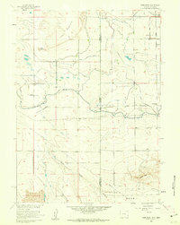
1960 Map of Robb Draw
USGS Topo · Published 1962About this map
The Wyoming-Nebraska state line divides this high plains landscape, where complex irrigation and drainage systems dictate the pattern of settlement. Constructed as part of the Department of the Interior program for the development of the Missouri River Basin, the massive Fort Laramie Canal cuts across the center of the sheet, supported by a network of smaller channels like the Horse Creek Lateral and the Table Mountain Lateral. These waterworks transformed the arid grasslands near Table Mountain into productive agricultural land.
Find a feature on this map
26 named features on this map. Tap any name to fly to it.
Don’t see what you’re looking for? This feature index may not catch every label — zoom into the map to look around manually.
Map Details
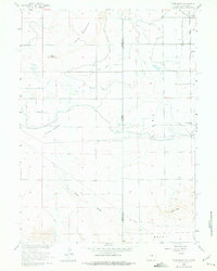
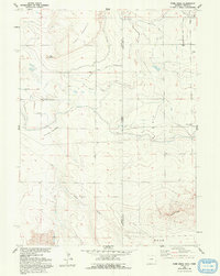
Editions of this 1960 Robb Draw Map
3 editions found
Other maps of this area

1898 · Scotts Bluff
USGS Topo · 1:125,000

1899 · Goshen Hole
USGS Topo · 1:125,000

1954 · Scottsbluff
USGS Topo · 1:250,000

1954 · Cheyenne
USGS Topo · 1:250,000

1958 · Cheyenne
USGS Topo · 1:250,000

1958 · Scottsbluff
USGS Topo · 1:250,000

1960 · Huntley
USGS Topo · 1:24,000

1960 · Mc Compsey Pass
USGS Topo · 1:24,000

1960 · Lyman
USGS Topo · 1:24,000

1960 · Stegall
USGS Topo · 1:24,000