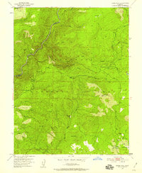
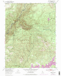
1950 Map of Robbs Peak
USGS Topo · Published 1958About this map
Eldorado National Forest defines the character of this 1950s terrain, where the high Sierra Nevada landscape is marked by remote ranching and early forest management. The presence of Uncle Toms Cabin and isolated homesteads like Grantees Ranch and Lower Bassi Ranch indicates the dispersed settlement patterns typical of this mountainous region. Fire lookout infrastructure is prominent at Robbs Peak Lookout, a critical vantage point overlooking Robbs Valley and the surrounding peaks.
Find a feature on this map
34 named features on this map. Tap any name to fly to it.
Don’t see what you’re looking for? This feature index may not catch every label — zoom into the map to look around manually.
Map Details
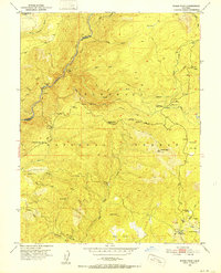
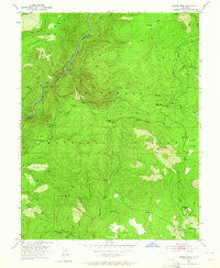
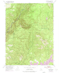
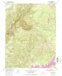
Editions of this 1950 Robbs Peak Map
6 editions found
Other maps of this area

1889 · Pyramid Peak
USGS Topo · 1:125,000

1891 · Colfax
USGS Topo · 1:125,000

1891 · Truckee
USGS Topo · 1:125,000

1891 · Placerville
USGS Topo · 1:125,000

1891 · Pyramid Peak
USGS Topo · 1:125,000

1892 · Placerville
USGS Topo · 1:125,000

1892 · Colfax
USGS Topo · 1:125,000

1893 · Placerville
USGS Topo · 1:125,000

1893 · Truckee
USGS Topo · 1:125,000

1894 · Colfax
USGS Topo · 1:125,000