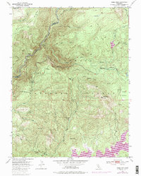
1950 Map of Robbs Peak
USGS Topo · Published 1987About this map
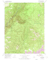
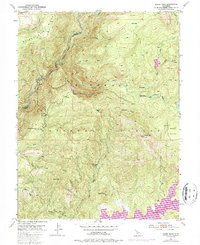
Eldorado National Forest dominates this landscape, showing a mid-century network of remote outposts and water management infrastructure. The Georgetown Divide Ditch snakes through the high country, illustrating the vital role of water transport in this part of the Sierra Nevada. High points like Silver Hill and Robbs Peak, featuring the Robbs Peak Lookout, provide vantage points over the Rubicon River and its various forks. Notable settlements and stopping points include the well-known Uncle Toms Cabin and Ditch Camp, while the southeastern corner is marked by the presence of the Union Valley Reservoir and an associated substation. This survey, based on 1948 photography with 1973 revisions, captures the area during a period of transition as forest management and utility infrastructure like the Hardess Guard Sta became more established.
Find a feature on this map
32 named features on this map. Tap any name to fly to it.
Don’t see what you’re looking for? This feature index may not catch every label — zoom into the map to look around manually.
Map Details
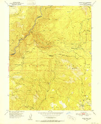
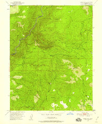
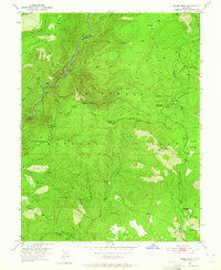
Editions of this 1950 Robbs Peak Map
6 editions found
Other maps of this area

1889 · Pyramid Peak
USGS Topo · 1:125,000

1891 · Colfax
USGS Topo · 1:125,000

1891 · Truckee
USGS Topo · 1:125,000

1891 · Placerville
USGS Topo · 1:125,000

1891 · Pyramid Peak
USGS Topo · 1:125,000

1892 · Placerville
USGS Topo · 1:125,000

1892 · Colfax
USGS Topo · 1:125,000

1893 · Placerville
USGS Topo · 1:125,000

1893 · Truckee
USGS Topo · 1:125,000

1894 · Colfax
USGS Topo · 1:125,000