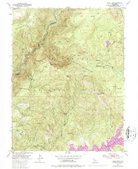
1950 Map of Robbs Peak
USGS Topo · Published 1987About this map
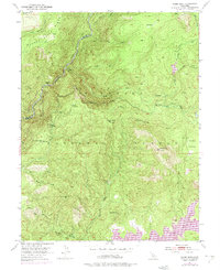
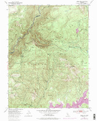
The high Sierra country of the Eldorado National Forest defines this terrain, where the South Fork Rubicon River and Rubicon River carve deep through the granite landscape. This 1950 survey, photorevised in 1973, captures a period of transition for the region’s water management and recreation. The appearance of the Union Valley Reservoir in the southern portion of the sheet reflects the mid-century expansion of hydroelectric and storage infrastructure, while the Georgetown Divide Ditch traces a legacy of earlier hydraulic engineering winding across the mountainside.
Find a feature on this map
31 named features on this map. Tap any name to fly to it.
Don’t see what you’re looking for? This feature index may not catch every label — zoom into the map to look around manually.
Map Details
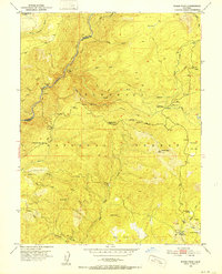
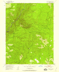
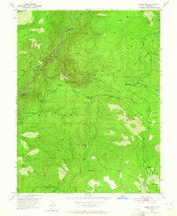
Editions of this 1950 Robbs Peak Map
6 editions found
Other maps of this area

1889 · Pyramid Peak
USGS Topo · 1:125,000

1891 · Colfax
USGS Topo · 1:125,000

1891 · Truckee
USGS Topo · 1:125,000

1891 · Placerville
USGS Topo · 1:125,000

1891 · Pyramid Peak
USGS Topo · 1:125,000

1892 · Placerville
USGS Topo · 1:125,000

1892 · Colfax
USGS Topo · 1:125,000

1893 · Placerville
USGS Topo · 1:125,000

1893 · Truckee
USGS Topo · 1:125,000

1894 · Colfax
USGS Topo · 1:125,000