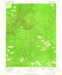
1950 Map of Robbs Peak
USGS Topo · Published 1964About this map
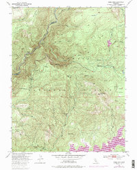
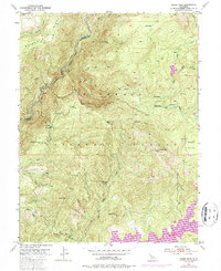
Eldorado National Forest dominates this mid-century topographic survey, showing a landscape defined by water management and high-country landmarks. The Rubicon River and South Fork Rubicon River carve through the northern terrain, while the Georgetown Divide Ditch and Hunsucker Ditch represent the hydraulic engineering necessary for the region's development. Local human activity is anchored by historic sites such as Uncle Toms Cabin and the Hartless Guard Sta. This era marks a time before major reservoir inundations, capturing the natural flows of Silver Creek and Tells Creek near working landscapes like Lower Bassi Ranch and Granlees Ranch. Notable high points like Robbs Peak and Deer Knob overlook the valleys, while trails such as the Ellicott Trail provide a look at the backcountry infrastructure of the California Sierras.
Find a feature on this map
37 named features on this map. Tap any name to fly to it.
Don’t see what you’re looking for? This feature index may not catch every label — zoom into the map to look around manually.
Map Details
Editions of this 1950 Robbs Peak Map
6 editions found
Other maps of this area

1889 · Pyramid Peak
USGS Topo · 1:125,000

1891 · Colfax
USGS Topo · 1:125,000

1891 · Truckee
USGS Topo · 1:125,000

1891 · Placerville
USGS Topo · 1:125,000

1891 · Pyramid Peak
USGS Topo · 1:125,000

1892 · Placerville
USGS Topo · 1:125,000

1892 · Colfax
USGS Topo · 1:125,000

1893 · Placerville
USGS Topo · 1:125,000

1893 · Truckee
USGS Topo · 1:125,000

1894 · Colfax
USGS Topo · 1:125,000