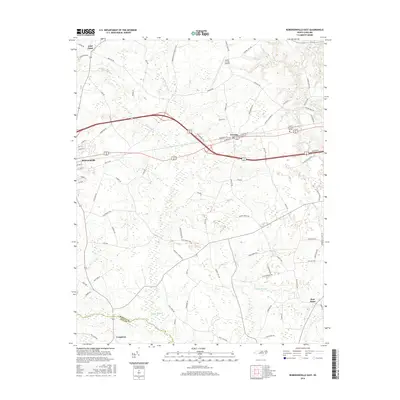
2016 Map of Robersonville East
USGS Topo · Published 2016About this map
Robersonville and the surrounding Martin County plains are defined by an extensive network of blackwater drainage systems and small agricultural communities. This 2016 survey shows the eastern extent of the town near the crossing of Ross Swamp and Huskaw Swamp, where the landscape transitions from residential streets like W Main St and E Barnhill St into a rural patchwork of timberland and farms. The rail-and-road corridor connects the larger settlement to Everetts, while the southern reaches of the map are dominated by the broad, wooded wetlands of Turkey Swamp and Collie Swamp. This area traces the boundary between Martin and Pitt counties near Congleton. To the north, the Martin County Airport and the community of Gold Point mark the upper reaches of the coastal plain landscape, showing how modern infrastructure sits atop a historic drainage network of creeks like Tranter Cr and Ready Br.
Find a feature on this map
83 named features on this map. Tap any name to fly to it.
Don’t see what you’re looking for? This feature index may not catch every label — zoom into the map to look around manually.
Map Details
Editions of this 2016 Robersonville East Map
This is the sole edition of this map. No revisions or reprints were ever made.
Other maps of this area

1901 · Parmele
USGS Topo · 1:62,500

1901 · Williamston
USGS Topo · 1:62,500

1902 · Williamston
USGS Topo · 1:62,500

1902 · Parmele
USGS Topo · 1:62,500

1903 · Winterville
USGS Topo · 1:62,500

1903 · Chocowinity
USGS Topo · 1:62,500

1905 · Chocowinity
USGS Topo · 1:62,500

1905 · Winterville
USGS Topo · 1:62,500

1953 · Rocky Mount
USGS Topo · 1:250,000

1954 · Rocky Mount
USGS Topo · 1:250,000