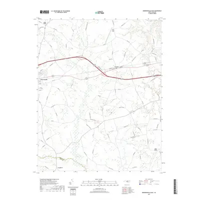
2019 Map of Robersonville East
USGS Topo · Published 2019About this map
Robersonville and the nearby town of Everetts anchor this portion of Martin County, where the landscape is defined by an intricate network of wetlands and agricultural drainage. Significant water features such as Ross Swamp, Hushkanaw Swamp, and Collie Swamp reveal the low-lying coastal plain environment that has historically influenced the region's development and transport routes.
Find a feature on this map
84 named features on this map. Tap any name to fly to it.
Don’t see what you’re looking for? This feature index may not catch every label — zoom into the map to look around manually.
Map Details
Editions of this 2019 Robersonville East Map
This is the sole edition of this map. No revisions or reprints were ever made.
Other maps of this area

1901 · Parmele
USGS Topo · 1:62,500

1901 · Williamston
USGS Topo · 1:62,500

1902 · Williamston
USGS Topo · 1:62,500

1902 · Parmele
USGS Topo · 1:62,500

1903 · Winterville
USGS Topo · 1:62,500

1903 · Chocowinity
USGS Topo · 1:62,500

1905 · Chocowinity
USGS Topo · 1:62,500

1905 · Winterville
USGS Topo · 1:62,500

1953 · Rocky Mount
USGS Topo · 1:250,000

1954 · Rocky Mount
USGS Topo · 1:250,000