
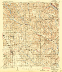
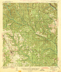
1943 Map of Robertsdale
USGS Topo · Published 1943About this map
The Louisville and Nashville railroad corridor anchors this survey of central Baldwin County, showing the agricultural and timber-driven development of the Alabama coastal plain in the early 1940s. Hubs like Robertsdale and Loxley are clearly established, while the interior is dotted with community centers such as Elsanor and Rosinton. The presence of a Turpentine Camp in the northern pines and a CCC Camp near Elsanor Sch points to the area's economic reliance on forest resources and New Deal-era conservation work.
Find a feature on this map
62 named features on this map. Tap any name to fly to it.
Don’t see what you’re looking for? This feature index may not catch every label — zoom into the map to look around manually.
Map Details
Editions of this 1943 Robertsdale Map
3 editions found
Other maps of this area

1920 · Robertsdale
USGS Topo · 1:62,500

1921 · Bon Secour
USGS Topo · 1:62,500

1921 · Point Clear
USGS Topo · 1:62,500

1921 · Fairhope
USGS Topo · 1:62,500

1921 · Fort Barrancas
USGS Topo · 1:62,500

1921 · Muscogee
USGS Topo · 1:62,500

1940 · Silverhill
USGS Topo · 1:31,680

1941 · Fort Barrancas
USGS Topo · 1:62,500

1941 · Silverhill
USGS Topo · 1:31,680

1941 · Bay Minette
USGS Topo · 1:62,500