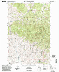
1994 Map of Robinson Lake
USGS Topo · Published 1997About this map
The Palouse Range dominates this mid-1990s landscape, where the ridges of West Twin and East Twin rise above the drainage basins of the South Fork Palouse River and Paradise Creek. Significant academic and resource management history is centered here within the University of Idaho Experimental Forest, a tract that reflects the region's long-standing connection to forestry research and education.
Find a feature on this map
20 named features on this map. Tap any name to fly to it.
Don’t see what you’re looking for? This feature index may not catch every label — zoom into the map to look around manually.
Map Details
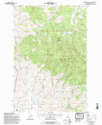
Editions of this 1994 Robinson Lake Map
2 editions found
Other maps of this area

1910 · Pullman
USGS Topo · 1:125,000

1955 · Pullman
USGS Topo · 1:250,000

1958 · Pullman
USGS Topo · 1:250,000

1960 · Troy
USGS Topo · 1:24,000

1960 · Robinson Lake
USGS Topo · 1:24,000

1960 · Moscow Mtn
USGS Topo · 1:24,000

1960 · Moscow East
USGS Topo · 1:24,000

1960 · Potlatch
USGS Topo · 1:62,500

1961 · Moscow
USGS Topo · 1:62,500

1964 · Viola
USGS Topo · 1:24,000