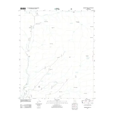
2011 Map of Robinson Mesa
USGS Topo · Published 2011About this map
Eagle Creek carves a path through this corner of Graham County, defining a landscape marked by high mesas and isolated ranching outposts. This 2011 survey illustrates a region where water management is critical to land use, evidenced by the high concentration of named tanks such as Coyote Tank, Road Tank, and Trail Tank scattered across the drainage basins. Ranching heritage is prominent throughout the territory, with sites like Four Drag Ranch, G J Filleman Ranch, and Seven Cross Ranch situated along the creek corridors, while working livestock facilities like the Robinson Mesa Corral and Hogtrail Corral are positioned further afield. The terrain transitions from the elevations of Robinson Mesa and Glover Ridge toward the Blue Range in the east, intersected by deep cuts like Hogtrail Canyon and Mud Springs Canyon. Recreational access is noted at Honeymoon Campground, providing a human footprint in a predominantly working landscape of canyons and springs.
Find a feature on this map
59 named features on this map. Tap any name to fly to it.
Don’t see what you’re looking for? This feature index may not catch every label — zoom into the map to look around manually.
Map Details
Editions of this 2011 Robinson Mesa Map
This is the sole edition of this map. No revisions or reprints were ever made.
Other maps of this area

1913 · Morenci
USGS Topo · 1:125,000

1915 · Morenci
USGS Topo · 1:125,000

1922 · Nutrioso
USGS Topo · 1:125,000

1954 · Clifton
USGS Topo · 1:250,000

1957 · Clifton
USGS Topo · 1:250,000

1958 · Clifton
USGS Topo · 1:250,000

1958 · Hannagan Meadow
USGS Topo · 1:62,500

1962 · Clifton
USGS Topo · 1:250,000

1967 · Freezeout Mountain
USGS Topo · 1:24,000

1967 · Robinson Mesa
USGS Topo · 1:24,000