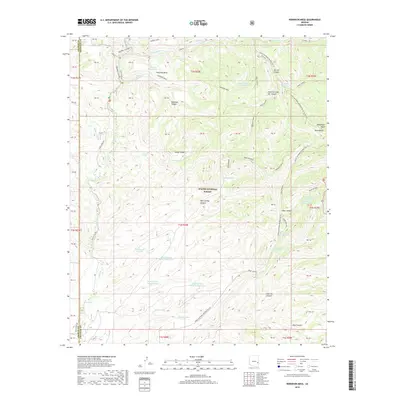
2018 Map of Robinson Mesa
USGS Topo · Published 2018About this map
Apache National Forest dominates this landscape in Graham and Greenlee Counties, where complex canyon systems and high mesas define the terrain. The network of water sources is particularly dense for this arid environment, featuring established points like Robinson Spring, Juniper Spring, and Bear Spring, alongside numerous stock tanks such as Circle Canyon Stock Tank and Mud Springs Tank Number One. These features suggest a history of managed grazing and backcountry navigation. The map illustrates a high-altitude wilderness transition, moving from the depths of Squirrel Canyon and Mud Springs Canyon up to the broad plateaus of Robinson Mesa and Mcbride Mesa. Recreation and remote access are prominent via the Eagle National Recreation Tr and the descriptive Hot Air trail system, which provides access to the Blue Range and West Fork Hot Air Canyon.
Find a feature on this map
66 named features on this map. Tap any name to fly to it.
Don’t see what you’re looking for? This feature index may not catch every label — zoom into the map to look around manually.
Map Details
Editions of this 2018 Robinson Mesa Map
This is the sole edition of this map. No revisions or reprints were ever made.
Other maps of this area

1913 · Morenci
USGS Topo · 1:125,000

1915 · Morenci
USGS Topo · 1:125,000

1922 · Nutrioso
USGS Topo · 1:125,000

1954 · Clifton
USGS Topo · 1:250,000

1957 · Clifton
USGS Topo · 1:250,000

1958 · Clifton
USGS Topo · 1:250,000

1958 · Hannagan Meadow
USGS Topo · 1:62,500

1962 · Clifton
USGS Topo · 1:250,000

1967 · Freezeout Mountain
USGS Topo · 1:24,000

1967 · Robinson Mesa
USGS Topo · 1:24,000