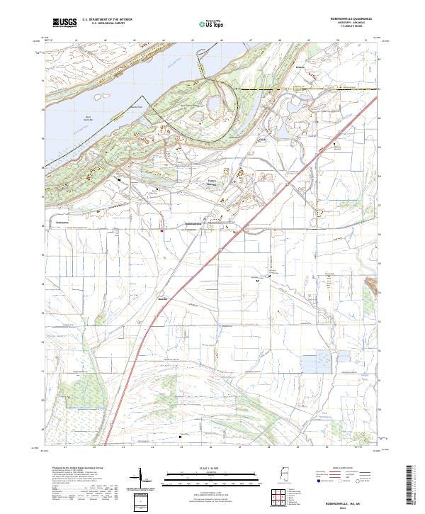
2024 Map of Robinsonville
USGS Topo · Published 2024About this map
The Mississippi River shapes the western edge of this landscape, where the state line shifts across Buck Island Number 53 and Buck Island Bar. This contemporary view of northwestern Mississippi captures a territory defined by the tension between the Mississippi River Levee and a modern tourism economy. Large-scale developments like Tunica Resorts and the Casino Strip Resort Blvd stand in stark contrast to the area's older agricultural roots and rural settlements. A high density of burial grounds, including Saint Peters Cem, Mount Olive Cem, and Morning Star Cem, provides a significant record for genealogists. The land is drained by a complex network of bayous, such as Fish Lake Bayou and Herron Bayou, which weave between historical place names like Commerce, Robinsonville, and Bowdre.
Find a feature on this map
71 named features on this map. Tap any name to fly to it.
Don’t see what you’re looking for? This feature index may not catch every label — zoom into the map to look around manually.
Map Details
Editions of this 2024 Robinsonville Map
This is the sole edition of this map. No revisions or reprints were ever made.
Other maps of this area

1908 · Hollywood
USGS Topo · 1:24,000

1908 · Lake Cormorant
USGS Topo · 1:24,000

1912 · Lake Cormorant
USGS Topo · 1:31,680

1913 · Hollywood
USGS Topo · 1:31,680

1931 · Horseshoe Lake
USGS Topo · 1:62,500

1932 · Horn Lake
USGS Topo · 1:48,000

1932 · Crenshaw
USGS Topo · 1:62,500

1935 · Crenshaw
USGS Topo · 1:62,500

1935 · Horn Lake
USGS Topo · 1:62,500

1939 · Clayton
USGS Topo · 1:62,500