
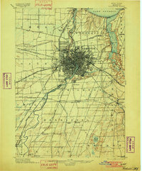
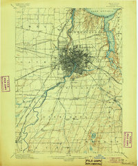
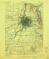
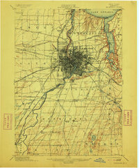
1898 Map of Rochester
USGS Topo · Published 1898About this map
The Genesee River serves as the central artery for this late 19th-century landscape, carving through a dense grid of city streets before reaching the shores of Lake Ontario at Charlotte. The city of Rochester is shown at a pivotal moment of expansion, its growth deeply tied to the Erie Canal and an intricate network of rail lines including the New York Central and Hudson River R.R. and the Lehigh Valley R.R..
Find a feature on this map
82 named features on this map. Tap any name to fly to it.
Don’t see what you’re looking for? This feature index may not catch every label — zoom into the map to look around manually.
Map Details
Editions of this 1898 Rochester Map
5 editions found
Other maps of this area

1895 · Rochester
USGS Topo · 1:62,500

1895 · Ontario Beach
USGS Topo · 1:62,500

1899 · Hamlin
USGS Topo · 1:62,500

1899 · Ontario Beach
USGS Topo · 1:62,500

1899 · Brockport
USGS Topo · 1:62,500

1900 · Macedon
USGS Topo · 1:62,500

1900 · Canandaigua
USGS Topo · 1:62,500

1901 · Honeoye
USGS Topo · 1:62,500

1903 · Canandaigua
USGS Topo · 1:62,500

1904 · Caledonia
USGS Topo · 1:62,500