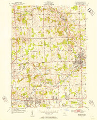
1952 Map of Rochester
USGS Topo · Published 1954About this map
Rochester serves as the focal point of this early 1950s survey, situated at the confluence of the Clinton River and Paint Creek. The landscape reveals a post-war transition, where the density of the Rochester town site gives way to the scattered rural schoolhouses of Avon and Oakland townships. Numerous educational landmarks, including Hamlin Sch and Snell Sch, are documented alongside several sites already marked as out-of-use, such as Brewster Sch (Abandoned) and Bigler Sch (Abandoned).
Find a feature on this map
48 named features on this map. Tap any name to fly to it.
Don’t see what you’re looking for? This feature index may not catch every label — zoom into the map to look around manually.
Map Details
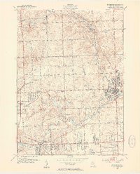
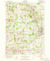
Editions of this 1952 Rochester Map
3 editions found
Other maps of this area

1907 · Pontiac
USGS Topo · 1:62,500

1908 · Rochester
USGS Topo · 1:62,500

1936 · Warren
USGS Topo · 1:31,680

1936 · Birmingham
USGS Topo · 1:31,680

1936 · Rochester
USGS Topo · 1:31,680

1936 · Washington
USGS Topo · 1:31,680

1936 · Pontiac South
USGS Topo · 1:31,680

1936 · Pontiac North
USGS Topo · 1:31,680

1943 · Pontiac South
USGS Topo · 1:24,000

1943 · Pontiac North
USGS Topo · 1:24,000
Featured Places
- Rochester Hills, MI
- Pontiac, MI
- Orion Charter Township, MI
- Auburn Hills, MI
- Oakland Charter Township, MI