
1956 Map of Rock Bluff
USGS Topo · Published 1957About this map
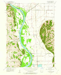
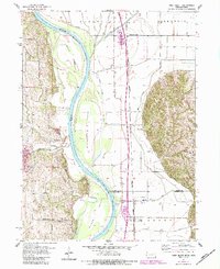
The Missouri River forms the central spine of this 1956 landscape, carving a wide valley between the bluffs of Plattsmouth and the flat bottomlands of Scott and Lyons. On the western bank, the small settlement of Rock Bluff is nestled against the East Rock Bluffs, characterized by several industrial operations like Tobins Quarry and Queen Hill Quarry. The river's dynamic nature is evident in the presence of Tobacco Island and Noddleman Island, while the eastern floodplain is dominated by drainage ditches and the Chicago Burlington and Quincy railroad line passing through Sargents Spur and Burr Oak. This survey captures the rural infrastructure of the mid-1950s, including family-oriented landmarks such as the Rock Bluff Cem, Kenosha Sch, and Walnut Grove Sch that anchored these farming communities before modern consolidation.
Find a feature on this map
32 named features on this map. Tap any name to fly to it.
Don’t see what you’re looking for? This feature index may not catch every label — zoom into the map to look around manually.
Map Details
Editions of this 1956 Rock Bluff Map
3 editions found
Other maps of this area

1935 · Nehawka
USGS Topo · 1:48,000

1940 · Nehawka
USGS Topo · 1:62,500

1954 · Omaha
USGS Topo · 1:250,000

1955 · Nebraska City
USGS Topo · 1:250,000

1956 · Glenwood
USGS Topo · 1:24,000

1956 · Murray
USGS Topo · 1:24,000

1956 · Plattsmouth
USGS Topo · 1:24,000

1956 · Pacific Junction
USGS Topo · 1:24,000

1957 · Nebraska City
USGS Topo · 1:250,000

1957 · Omaha
USGS Topo · 1:250,000