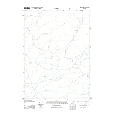
2012 Map of Rock Creek
USGS Topo · Published 2012About this map
Little Medicine and the surrounding drainage of the Little Medicine Bow River system define this Wyoming landscape during the early 21st century. The terrain is characterized by a complex network of creeks including Box Elder Cr, Sandell Cr, and Sleepy Jack Cr that feed into the various forks of the river. Named landmarks such as Breakneck Hill and The Peach Orchard provide geographical orientation for the high plains and hilly stretches of Albany County.
Find a feature on this map
30 named features on this map. Tap any name to fly to it.
Don’t see what you’re looking for? This feature index may not catch every label — zoom into the map to look around manually.
Map Details
Editions of this 2012 Rock Creek Map
This is the sole edition of this map. No revisions or reprints were ever made.
Other maps of this area

1954 · Torrington
USGS Topo · 1:250,000

1955 · Casper
USGS Topo · 1:250,000

1958 · Casper
USGS Topo · 1:250,000

1958 · Torrington
USGS Topo · 1:250,000

1959 · Squaw Spring
USGS Topo · 1:24,000

1959 · Chalk Hills
USGS Topo · 1:24,000

1960 · Reno Hill
USGS Topo · 1:24,000

1962 · Casper
USGS Topo · 1:250,000

1964 · Buck Peak
USGS Topo · 1:24,000

1964 · Buffalo Peak
USGS Topo · 1:24,000