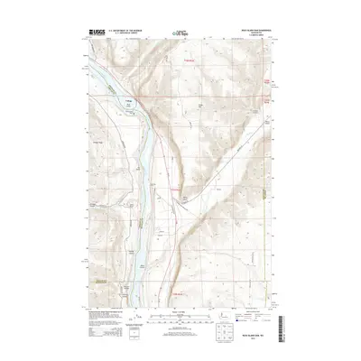
2014 Map of Rock Island Dam
USGS Topo · Published 2014About this map
The Columbia River carves a deep path through the center of this landscape, marking the boundary between Chelan and Douglas counties. At the heart of the waterway stands the Rock Island Dam, a massive infrastructure project that transformed the local economy and geography, creating Rock Island Lake and providing power to nearby settlements like Voltage. The surrounding terrain is defined by dramatic basalt formations and steep coulees, most notably the mouth of Moses Coulee where it meets the river valley.
Find a feature on this map
43 named features on this map. Tap any name to fly to it.
Don’t see what you’re looking for? This feature index may not catch every label — zoom into the map to look around manually.
Map Details
Editions of this 2014 Rock Island Dam Map
This is the sole edition of this map. No revisions or reprints were ever made.
Other maps of this area

1909 · Quincy
USGS Topo · 1:62,500

1910 · Quincy
USGS Topo · 1:62,500

1912 · Malaga
USGS Topo · 1:48,000

1914 · Malaga
USGS Topo · 1:62,500

1920 · Colockum Pass
USGS Topo · 1:125,000

1922 · Colockum Pass
USGS Topo · 1:125,000

1953 · Ritzville
USGS Topo · 1:250,000

1957 · Wenatchee
USGS Topo · 1:250,000

1959 · Ritzville
USGS Topo · 1:250,000

1965 · Ritzville
USGS Topo · 1:250,000