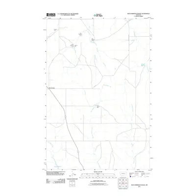
2011 Map of Rock Springs School
USGS Topo · Published 2011About this map
Rock Springs stands at a significant road junction in this section of Rosebud County, where the landscape is defined by a complex network of ephemeral drainage and water management. The terrain is characterized by the branching paths of Dirty Woman Creek and Uall Creek, along with their various tributaries like East Uall Creek and Fulton Creek. This topography necessitated numerous small-scale water engineering projects to support the local ranching economy, visible through a series of named earthen structures including Alay Number 1 Dam, Haglofs Dam, and the Rock Springs Dam. Larger water bodies such as Boies Reservoir and Kreger Reservoir provide more permanent markers in this arid environment. The map also documents the local transit infrastructure of the early 21st century, specifically Rosebud Road 208 and Road 210, which connect the scattered homesteads and water resources of this high plains region.
Find a feature on this map
18 named features on this map. Tap any name to fly to it.
Don’t see what you’re looking for? This feature index may not catch every label — zoom into the map to look around manually.
Map Details
Editions of this 2011 Rock Springs School Map
This is the sole edition of this map. No revisions or reprints were ever made.
Other maps of this area

1954 · Forsyth
USGS Topo · 1:250,000

1957 · Forsyth
USGS Topo · 1:250,000

1958 · Forsyth
USGS Topo · 1:250,000

1965 · Rock Springs School
USGS Topo · 1:24,000

1965 · Little Chalk Butte
USGS Topo · 1:24,000
1965 · Crow Rock
USGS Topo · 1:24,000
1965 · Coleman Coulee
USGS Topo · 1:24,000
1965 · Red Buttes
USGS Topo · 1:24,000
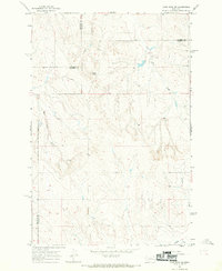
1965 · Crow Rock SE
USGS Topo · 1:24,000
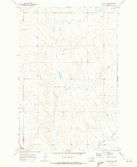
1969 · Angela NE
USGS Topo · 1:24,000