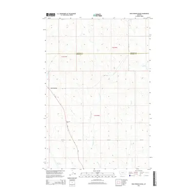
2014 Map of Rock Springs School
USGS Topo · Published 2014About this map
Rock Springs School serves as a central landmark in this high plains landscape of the Big Horn Basin's northeastern margins. The community of Rock Springs is situated along MT-462 and Road 208, marking a rare point of concentration in a region otherwise defined by expansive range land. The topography is dissected by numerous intermittent drainages, most notably Dirty Woman Cr, Utall Cr, and Fulton Cr, which carve through the terrain between the Garfield Co and Rosebud Co line. Water management for local ranching is evident through the presence of Kreger Reservoir and Boies Reservoir, while a sparse network of gravel routes like Angela Rd N and Hirsch Rd connects the isolated homesteads and pastures of the early 21st-century Montana backcountry.
Find a feature on this map
20 named features on this map. Tap any name to fly to it.
Don’t see what you’re looking for? This feature index may not catch every label — zoom into the map to look around manually.
Map Details
Editions of this 2014 Rock Springs School Map
This is the sole edition of this map. No revisions or reprints were ever made.
Other maps of this area

1954 · Forsyth
USGS Topo · 1:250,000

1957 · Forsyth
USGS Topo · 1:250,000

1958 · Forsyth
USGS Topo · 1:250,000

1965 · Rock Springs School
USGS Topo · 1:24,000

1965 · Little Chalk Butte
USGS Topo · 1:24,000
1965 · Crow Rock
USGS Topo · 1:24,000
1965 · Coleman Coulee
USGS Topo · 1:24,000
1965 · Red Buttes
USGS Topo · 1:24,000
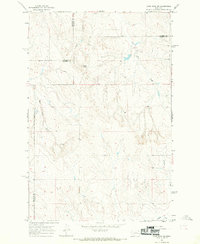
1965 · Crow Rock SE
USGS Topo · 1:24,000
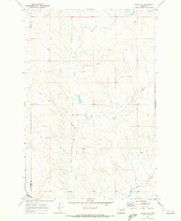
1969 · Angela NE
USGS Topo · 1:24,000