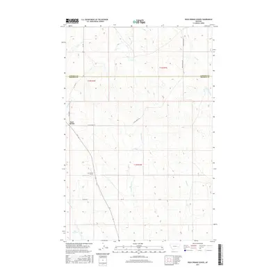
2017 Map of Rock Springs School
USGS Topo · Published 2017About this map
Rock Springs School stands as a central landmark in this high-plains landscape of eastern Montana, situated south of the small settlement of Rock Springs. This 2017 survey reveals a landscape defined by an intricate network of intermittent drainages and coulees, where water management is critical to ranching and local life. The map illustrates several named watercourses including Dirty Woman Cr, Uall Cr, and Fulton Cr that carve through the undulating terrain. Artificial water sources such as Boies Reservoir and Kreger Reservoir underscore the necessity of water storage in this semi-arid environment. The boundary between Garfield and Rosebud counties cuts horizontally across the northern section, while a grid of local roads like Angela Rd N and E Rock Springs Rd provides the primary infrastructure for the dispersed rural population.
Find a feature on this map
19 named features on this map. Tap any name to fly to it.
Don’t see what you’re looking for? This feature index may not catch every label — zoom into the map to look around manually.
Map Details
Editions of this 2017 Rock Springs School Map
This is the sole edition of this map. No revisions or reprints were ever made.
Other maps of this area

1954 · Forsyth
USGS Topo · 1:250,000

1957 · Forsyth
USGS Topo · 1:250,000

1958 · Forsyth
USGS Topo · 1:250,000

1965 · Rock Springs School
USGS Topo · 1:24,000

1965 · Little Chalk Butte
USGS Topo · 1:24,000
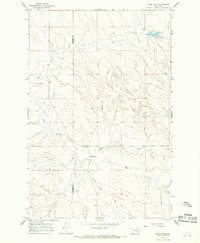
1965 · Crow Rock
USGS Topo · 1:24,000
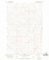
1965 · Coleman Coulee
USGS Topo · 1:24,000
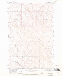
1965 · Red Buttes
USGS Topo · 1:24,000
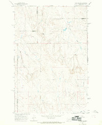
1965 · Crow Rock SE
USGS Topo · 1:24,000
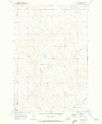
1969 · Angela NE
USGS Topo · 1:24,000