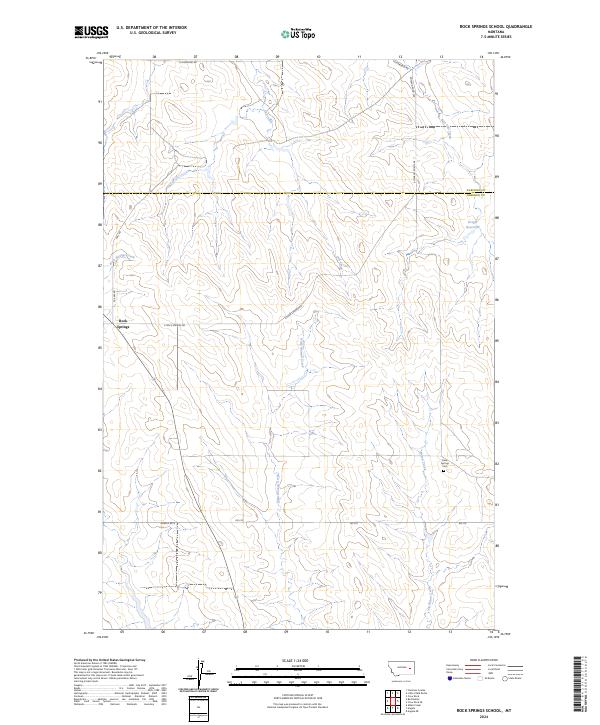
2024 Map of Rock Springs School
USGS Topo · Published 2024About this map
Rock Springs serves as the focal point for this expansive section of the Rosebud and Garfield County borderlands. The settlement is centered at the junction of FAS 462 Rd and E Rock Springs Rd, where the headwaters of Rock Springs Creek begin their descent through the coulee-broken landscape. This 2024 survey documents a terrain defined by its water-carved drainages, including the oddly named Dirty Woman Creek and the bifurcated paths of Uall Creek and East Uall Creek. Just to the east of the main settlement area, the Rock Springs Cem and the Kreger Reservoir provide fixed points for local history researchers tracing family ties to this cattle-ranching region. The map captures the modern township and range grid across t13n r43e and t12n r44e, illustrating how historical land divisions continue to dictate the placement of local thoroughfares like Rd 210.
Find a feature on this map
20 named features on this map. Tap any name to fly to it.
Don’t see what you’re looking for? This feature index may not catch every label — zoom into the map to look around manually.
Map Details
Editions of this 2024 Rock Springs School Map
This is the sole edition of this map. No revisions or reprints were ever made.
Other maps of this area

1954 · Forsyth
USGS Topo · 1:250,000

1957 · Forsyth
USGS Topo · 1:250,000

1958 · Forsyth
USGS Topo · 1:250,000

1965 · Rock Springs School
USGS Topo · 1:24,000

1965 · Little Chalk Butte
USGS Topo · 1:24,000
1965 · Crow Rock
USGS Topo · 1:24,000
1965 · Coleman Coulee
USGS Topo · 1:24,000
1965 · Red Buttes
USGS Topo · 1:24,000
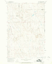
1965 · Crow Rock SE
USGS Topo · 1:24,000
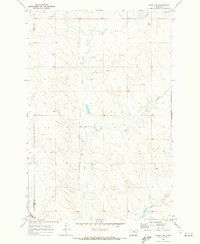
1969 · Angela NE
USGS Topo · 1:24,000