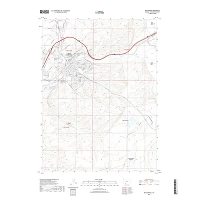
2018 Map of Rock Springs
USGS Topo · Published 2018About this map
The city of Rock Springs is the primary hub of this 2018 survey, centered at the confluence of several vital watercourses and transportation corridors. To the south, the terrain descends toward the North Baxter Basin and South Baxter Basin, marking the high-desert landscape characteristic of Sweetwater County. The map documents the city's modern footprint, including the campus of Western Wyoming Community College and several distinct residential and industrial districts like Blairtown and the outlier settlements at Quealy and Arrowhead Springs. Natural drainage defines the local geography, with Bitter Creek cutting through the center of the urban area while Sweetwater Creek flows to the south. Historically significant landmarks, including the Rock Springs Cemetery, provide essential reference points for those tracing the development of this rail-and-resource-driven community through the early 21st century.
Find a feature on this map
80 named features on this map. Tap any name to fly to it.
Don’t see what you’re looking for? This feature index may not catch every label — zoom into the map to look around manually.
Map Details
Editions of this 2018 Rock Springs Map
This is the sole edition of this map. No revisions or reprints were ever made.
Other maps of this area

1908 · Rock Springs
USGS Topo · 1:62,500

1910 · Rock Springs
USGS Topo · 1:62,500

1954 · Rock Springs
USGS Topo · 1:250,000

1957 · Firehole Basin
USGS Topo · 1:62,500

1958 · Rock Springs
USGS Topo · 1:250,000

1961 · Pilot Butte
USGS Topo · 1:24,000

1961 · Kanda
USGS Topo · 1:24,000

1962 · Rock Springs
USGS Topo · 1:250,000

1966 · Firehole Basin
USGS Topo · 1:62,500

1968 · North Baxter
USGS Topo · 1:24,000