
1968 Map of North Baxter
USGS Topo · Published 1971About this map
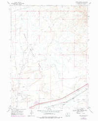
The industrial and transit corridors of southern Wyoming dominate this late 1960s survey, centered on the North Baxter Basin. The map captures a landscape defined by resource extraction and long-distance transport, featuring an extensive network of pipelines alongside numerous sites marked as Gas Wells, Drill Holes, and an Oil Well. Near the small settlement of North Baxter, a Pumping Sta serves this energy infrastructure.
Find a feature on this map
12 named features on this map. Tap any name to fly to it.
Don’t see what you’re looking for? This feature index may not catch every label — zoom into the map to look around manually.
Map Details
Editions of this 1968 North Baxter Map
2 editions found
Other maps of this area

1908 · Rock Springs
USGS Topo · 1:62,500

1910 · Rock Springs
USGS Topo · 1:62,500

1954 · Rock Springs
USGS Topo · 1:250,000

1958 · Rock Springs
USGS Topo · 1:250,000

1958 · Boars Tusk
USGS Topo · 1:62,500

1958 · Superior
USGS Topo · 1:62,500

1962 · Rock Springs
USGS Topo · 1:250,000

1968 · Point Of Rocks SW
USGS Topo · 1:24,000
1968 · Rock Springs
USGS Topo · 1:24,000
1968 · Reliance
USGS Topo · 1:24,000