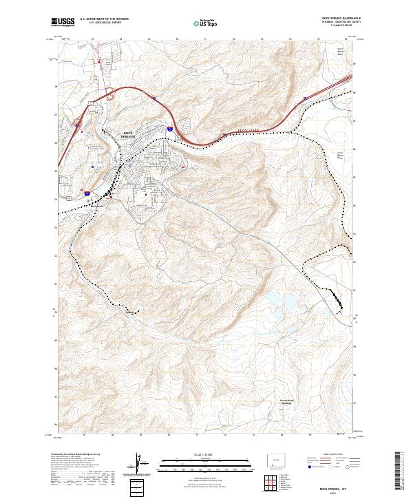
2021 Map of Rock Springs
USGS Topo · Published 2021About this map
Rock Springs sits at the heart of this high-desert landscape, where the confluence of Bitter Cr and Killpecker Cr shaped the early footprint of the city. The map reveals the modern urban expansion north toward the North Baxter Basin and south past Blairtown, illustrating a community deeply intertwined with its topography and energy-rich basins. The infrastructure of Western Wyoming Community College and the layout of the Rock Springs Cem provide focal points for local history and genealogy research.
Find a feature on this map
81 named features on this map. Tap any name to fly to it.
Don’t see what you’re looking for? This feature index may not catch every label — zoom into the map to look around manually.
Map Details
Editions of this 2021 Rock Springs Map
This is the sole edition of this map. No revisions or reprints were ever made.
Other maps of this area
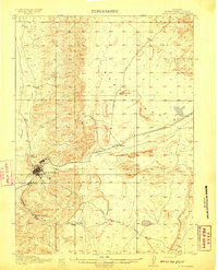
1908 · Rock Springs
USGS Topo · 1:62,500
1910 · Rock Springs
USGS Topo · 1:62,500

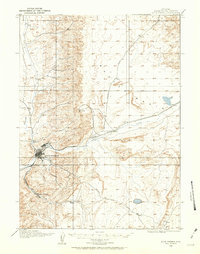
1954 · Rock Springs
USGS Topo · 1:250,000
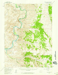
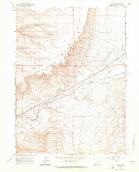
1957 · Firehole Basin
USGS Topo · 1:62,500

1958 · Rock Springs
USGS Topo · 1:250,000
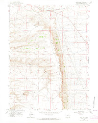
1961 · Pilot Butte
USGS Topo · 1:24,000
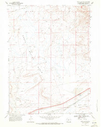
1961 · Kanda
USGS Topo · 1:24,000

1962 · Rock Springs
USGS Topo · 1:250,000
1966 · Firehole Basin
USGS Topo · 1:62,500
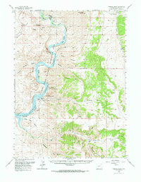
1968 · North Baxter
USGS Topo · 1:24,000