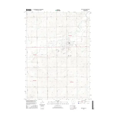
2015 Map of Rock Valley
USGS Topo · Published 2015About this map
Rock Valley serves as the central hub of this Sioux County landscape, situated along a prominent bend of the Rock River. The settlement's residential grid is well-defined by a system of numbered streets and avenues, including 10th St and 20th Ave, while the surrounding rural acreage is organized by a meticulous section line road network. Local heritage is anchored by sites like Valley View Cem and Saint Mary's Cem, located just south of the main town center. The hydrology of the area is defined by the winding course of the Rock River, which is joined by several tributaries such as Dry Run Cr and Rogg Cr. This 2015 survey reflects a classic Midwestern agricultural pattern where traditional township boundaries like t97n r46w intersect with modern infrastructure.
Find a feature on this map
49 named features on this map. Tap any name to fly to it.
Don’t see what you’re looking for? This feature index may not catch every label — zoom into the map to look around manually.
Map Details
Editions of this 2015 Rock Valley Map
This is the sole edition of this map. No revisions or reprints were ever made.
Other maps of this area

1955 · Sioux Falls
USGS Topo · 1:250,000

1958 · Sioux Falls
USGS Topo · 1:250,000

1964 · Sioux Center
USGS Topo · 1:24,000

1964 · Hull
USGS Topo · 1:24,000
1968 · Hawarden North
USGS Topo · 1:24,000

1968 · Fairview
USGS Topo · 1:24,000

1968 · Labanon
USGS Topo · 1:24,000
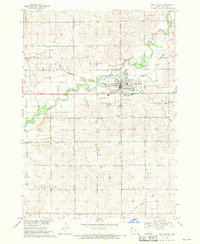
1968 · Rock Valley
USGS Topo · 1:24,000
1971 · Inwood
USGS Topo · 1:24,000

1971 · Doon
USGS Topo · 1:24,000