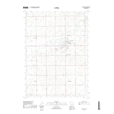
2018 Map of Rock Valley
USGS Topo · Published 2018About this map
Rock Valley serves as the focal point of this Northwest Iowa landscape, where the Rock River meanders through the township sections of Sioux County. The map shows the town’s residential grid extending south toward the river, bisected by Co Hwy B14. Outside the municipal limits, the terrain is defined by a dense network of sectional roads and the drainages of Dry Run Cr and Rogg Cr. Local heritage is anchored by Saint Mary's Cem and Valley View Cem, both located just south of the main settlement. The land division follows a rigid north-south and east-west orientation, characteristic of the region’s agricultural heritage, with primary routes like Co Rd K30 and Dipper Ave providing the structural backbone for the rural farmsteads and fields surrounding the community.
Find a feature on this map
49 named features on this map. Tap any name to fly to it.
Don’t see what you’re looking for? This feature index may not catch every label — zoom into the map to look around manually.
Map Details
Editions of this 2018 Rock Valley Map
This is the sole edition of this map. No revisions or reprints were ever made.
Other maps of this area

1955 · Sioux Falls
USGS Topo · 1:250,000

1958 · Sioux Falls
USGS Topo · 1:250,000

1964 · Sioux Center
USGS Topo · 1:24,000

1964 · Hull
USGS Topo · 1:24,000
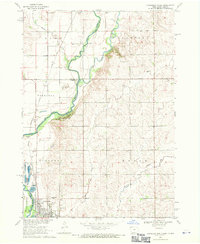
1968 · Hawarden North
USGS Topo · 1:24,000

1968 · Fairview
USGS Topo · 1:24,000

1968 · Labanon
USGS Topo · 1:24,000
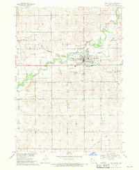
1968 · Rock Valley
USGS Topo · 1:24,000
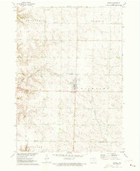
1971 · Inwood
USGS Topo · 1:24,000

1971 · Doon
USGS Topo · 1:24,000