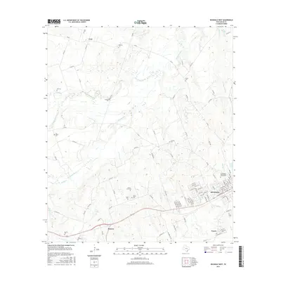
2016 Map of Rockdale West
USGS Topo · Published 2016About this map
Rockdale anchors the southeastern portion of this 2016 survey, where the town's street grid meets the residential expansion of Praesel. The landscape is a network of small creeks and drainages, notably Brushy Creek and the San Gabriel River, which meander through the central and northern sections. For genealogists, the map is remarkably dense with family and community burial sites, from the International Order of Odd Fellows Cem in town to smaller rural sites like the Garza Family Cem and Hickory Grove Cem. These cemeteries, often associated with former settlement hubs like Tracy or the area near Marjorie, mark the enduring footprint of Milam County's rural heritage. The drainage patterns of Brushy Slough and Alligator Cr suggest a terrain traditionally managed for grazing and agriculture, now interspersed with a maturing road network including FM 487 and FM 908.
Find a feature on this map
100 named features on this map. Tap any name to fly to it.
Don’t see what you’re looking for? This feature index may not catch every label — zoom into the map to look around manually.
Map Details
Editions of this 2016 Rockdale West Map
This is the sole edition of this map. No revisions or reprints were ever made.
Other maps of this area

1885 · Taylor
USGS Topo · 1:125,000

1887 · Taylor
USGS Topo · 1:125,000

1894 · Taylor
USGS Topo · 1:125,000

1910 · Buckholts
USGS Topo · 1:24,000

1912 · Buckholts
USGS Topo · 1:31,680

1954 · Austin
USGS Topo · 1:250,000

1956 · Milano
USGS Topo · 1:62,500

1961 · Cameron
USGS Topo · 1:24,000

1961 · Rockdale East
USGS Topo · 1:24,000

1962 · Rockdale West
USGS Topo · 1:24,000