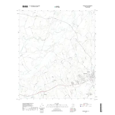
2019 Map of Rockdale West
USGS Topo · Published 2019About this map
San Gabriel River meanders across this Central Texas landscape, defining the topography north of Rockdale. The area is characterized by numerous family and community burial grounds, which serve as essential markers for genealogical research in Milam County. From the International Order of Odd Fellows Cem near the town center to more secluded sites like Holtzclaw Cem, Murray Cem, and Gilleland Cem, the map documents a legacy of early settlement. The presence of smaller rail-side and rural communities such as Marjorie and Tracy highlights the historical importance of local transport networks. Significant water features like Voss Lake and Brushy Creek further delineate the land, while a dense network of Farm to Market roads, including FM 487 and FM 908, connects these scattered settlements to the hub of Rockdale.
Find a feature on this map
101 named features on this map. Tap any name to fly to it.
Don’t see what you’re looking for? This feature index may not catch every label — zoom into the map to look around manually.
Map Details
Editions of this 2019 Rockdale West Map
This is the sole edition of this map. No revisions or reprints were ever made.
Other maps of this area

1885 · Taylor
USGS Topo · 1:125,000

1887 · Taylor
USGS Topo · 1:125,000

1894 · Taylor
USGS Topo · 1:125,000

1910 · Buckholts
USGS Topo · 1:24,000

1912 · Buckholts
USGS Topo · 1:31,680

1954 · Austin
USGS Topo · 1:250,000

1956 · Milano
USGS Topo · 1:62,500

1961 · Cameron
USGS Topo · 1:24,000

1961 · Rockdale East
USGS Topo · 1:24,000

1962 · Rockdale West
USGS Topo · 1:24,000