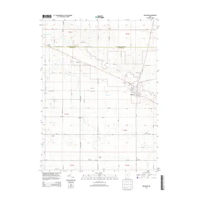
2013 Map of Rockford
USGS Topo · Published 2013About this map
The Saint Marys River winds through the village of Rockford, anchoring a landscape defined by the intersection of Mercer and Van Wert counties. This 2013 survey reveals the grid of the village, where W Bridge St and Market St form the local core. The surrounding countryside is remarkably dense with family and community burial grounds, providing a significant resource for genealogical research. Sites such as Zimerman Cem, Fountain Chapel Cem, and Otterbein Cem are scattered across the township sections, often near drainage features like Sanift Ditch or Little Black Cr. Agricultural and dairy operations, including Rogers Farms and Hopewell Dairy, illustrate the ongoing rural economy. The mapping of the Van Wert Mercer Co Line Rd and various state routes like Oh-118 and Oh-707 demonstrates the enduring transport network connecting these farmsteads.
Find a feature on this map
110 named features on this map. Tap any name to fly to it.
Don’t see what you’re looking for? This feature index may not catch every label — zoom into the map to look around manually.
Map Details
Editions of this 2013 Rockford Map
This is the sole edition of this map. No revisions or reprints were ever made.
Other maps of this area

1911 · Berne
USGS Topo · 1:48,000

1914 · Celina
USGS Topo · 1:62,500

1914 · Van Wert
USGS Topo · 1:62,500

1944 · Van Wert
USGS Topo · 1:62,500

1944 · Celina
USGS Topo · 1:62,500

1953 · Muncie
USGS Topo · 1:250,000

1956 · Muncie
USGS Topo · 1:250,000
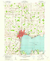
1960 · Celina
USGS Topo · 1:24,000
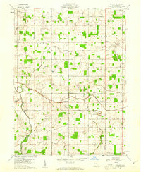
1960 · Erastus
USGS Topo · 1:24,000
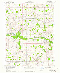
1960 · Mendon
USGS Topo · 1:24,000