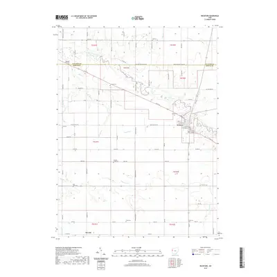
2019 Map of Rockford
USGS Topo · Published 2019About this map
The Saint Marys River meanders across this rural landscape, serving as a primary drainage feature for the surrounding agricultural lands of Mercer and Van Wert counties. The village of Rockford acts as the local center, situated at the intersection of US Rte 33 and Smith Rd. The town's grid is clearly delineated, showing streets like W Bridge St and Columbia St near the riverbank. This 2019 survey documents a landscape heavily influenced by family and community history, evidenced by more than ten distinct burial grounds scattered across the townships.
Find a feature on this map
73 named features on this map. Tap any name to fly to it.
Don’t see what you’re looking for? This feature index may not catch every label — zoom into the map to look around manually.
Map Details
Editions of this 2019 Rockford Map
This is the sole edition of this map. No revisions or reprints were ever made.
Other maps of this area

1911 · Berne
USGS Topo · 1:48,000

1914 · Celina
USGS Topo · 1:62,500

1914 · Van Wert
USGS Topo · 1:62,500

1944 · Van Wert
USGS Topo · 1:62,500

1944 · Celina
USGS Topo · 1:62,500

1953 · Muncie
USGS Topo · 1:250,000

1956 · Muncie
USGS Topo · 1:250,000
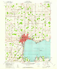
1960 · Celina
USGS Topo · 1:24,000
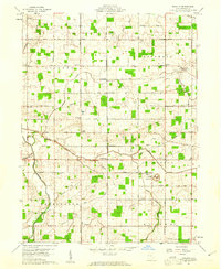
1960 · Erastus
USGS Topo · 1:24,000
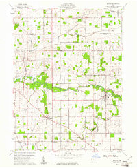
1960 · Mendon
USGS Topo · 1:24,000