Loading...
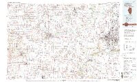
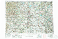
Loading map...1981 Map of Rockford
USGS Topo · Published 1993About this map
The Rock River and Pecatonica River valleys dominate this northern Illinois landscape, anchoring a regional network of industrial centers and rural crossroads at the start of the 1980s. Rockford stands as the primary urban hub, flanked by growing communities like Loves Park and North Park. The map reveals an intricate rail infrastructure, featuring the Illinois Central Gulf Railroad and the Chicago and North Western lines which historically fueled the development of towns such as Freeport and Scioto Mills.
Find a feature on this map
117 named features on this map. Tap any name to fly to it.
Don’t see what you’re looking for? This feature index may not catch every label — zoom into the map to look around manually.
Map Details
Date Portrayed1981
Date Published1993
PublisherU.S. Geological Survey
Map TypeTopographic
Scale1:100,000
Physical Dimensions39.85 x 23.9 inches
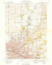
Editions of this 1981 Rockford Map
2 editions found

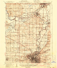
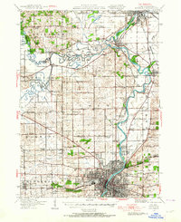
Historical Maps of Rockford Through Time
8 maps found


Featured Locations
Source Details
SourceU.S. Geological Survey
CopyrightPublic Domain