
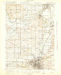
1918 Map of Rockford
USGS Topo · Published 1918About this map
The Rock River corridor serves as the industrial and transit spine of this northern Illinois region, with the bustling hub of Rockford at the southern edge. The landscape is heavily marked by a dense network of country schools, such as Whig Hill School, Canada School, and Bird School, which served the rural farming townships of Owen and Burritt. A notable institution, the Winnebago County Boys Reform School, is situated near the Pecatonica River confluence, reflecting the social infrastructure of the early twentieth century.
Find a feature on this map
78 named features on this map. Tap any name to fly to it.
Don’t see what you’re looking for? This feature index may not catch every label — zoom into the map to look around manually.
Map Details
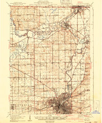
Editions of this 1918 Rockford Map
3 editions found
Other maps of this area

1891 · Janesville
USGS Topo · 1:62,500

1893 · Janesville
USGS Topo · 1:62,500

1893 · Brodhead
USGS Topo · 1:62,500

1893 · Shopiere
USGS Topo · 1:62,500

1917 · Kings
USGS Topo · 1:62,500

1918 · Belvidere
USGS Topo · 1:62,500

1918 · Kings
USGS Topo · 1:62,500

1918 · Kirkland
USGS Topo · 1:62,500

1922 · Oregon
USGS Topo · 1:62,500

1924 · Oregon
USGS Topo · 1:62,500